Shelter, Evacuation & Mobility • MOBILITY PLAN
Emergency Route Planning: Build More Than One Way Out
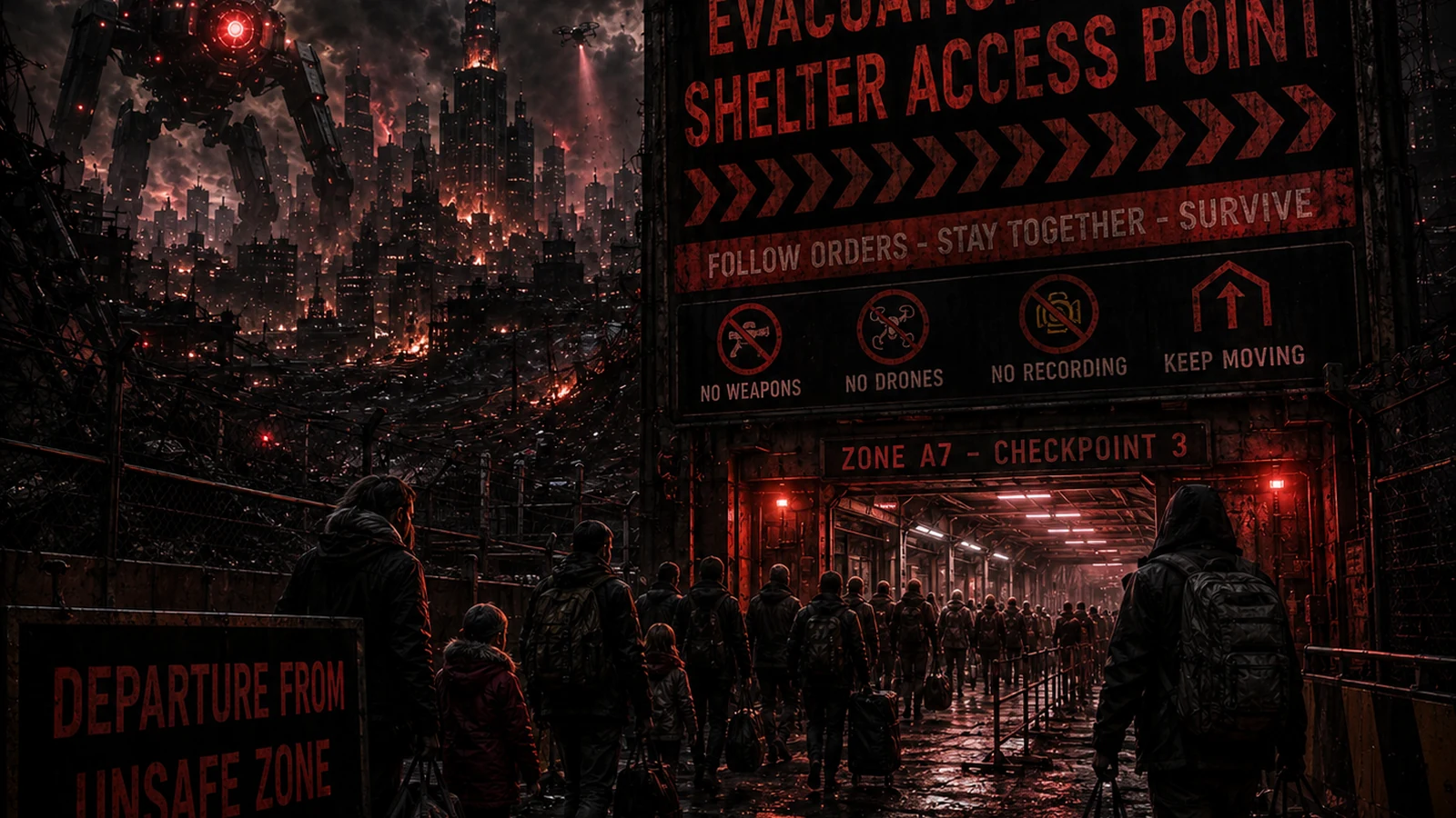
A route plan should assume that the obvious road may be the first road everyone else chooses. Resilience comes from options, not from memorising one perfect escape route.
The immediate answer
Mark bridges, tunnels, railway crossings, flood-prone roads, city-centre junctions and other places where one closure can isolate an area. Then identify ways around them. The goal is not to predict which road fails; it is to notice where your mobility depends on one piece of infrastructure.
Create vehicle and walking versions
Your car may be unavailable, short of fuel or trapped in traffic. Build a realistic walking route from work or school to home or another safe location, while recognising personal mobility limits and weather. Do not assume every family member can cover the same distance or carry the same load.
Keep navigation offline
Store printed local and regional maps and download offline maps before an emergency. Mark meeting points, hospitals, fuel stations, relatives and alternative shelter locations. GPS can be useful, but a flat battery or network failure should not erase your understanding of the area.
Plan around fuel instead of depending on finding it
Keep the vehicle sensibly fuelled during normal life and avoid running it close to empty as a habit. In a widespread disruption, fuel stations can be closed by power failure or overwhelmed by demand. Never store fuel casually or in unsafe containers; follow fire-safety rules and legal requirements.
Add household constraints to the map
Pets, wheelchairs, children, elderly relatives, medication refrigeration and medical equipment change what counts as a viable route. A steep footpath may be useless to one household and valuable to another. Route plans should be personal enough to work.
Recheck before you move
A route that looked sensible an hour ago may now be closed or inside the hazard area. Use current official information where available and obey road closures. Do not drive around barriers or enter restricted areas because an offline map shows the road continuing.
Mark safe stopping points
Identify places along each route where you could safely pause, obtain verified information or meet family members. These might include trusted homes, official public buildings or other locations that make sense for your area. Do not rely on businesses being open. The purpose is to know where you can regroup if the full journey becomes impossible.
Avoid routes that depend on one fragile assumption
If your only alternative route crosses the same river, tunnel or motorway junction as your main route, it is not truly independent. Look for options that fail differently. A walking route, for example, may bypass traffic but introduce weather and distance risks. The aim is not perfection; it is diversity of failure modes.
Put the route plan on paper
Print or sketch the key routes, meeting points and destinations and keep a copy with emergency documents. Digital maps are excellent until the battery dies, an account locks or data disappears. A simple paper route card also lets another household member follow the plan without needing your phone or login.
Share the route logic, not just the map
Make sure more than one adult understands why each route exists, which bottlenecks it avoids and where the fallback destinations are. If only one person understands the plan, the household inherits a single point of failure. Walk or drive parts of the alternatives occasionally so they are familiar rather than lines on paper.
Plan around choke points
Bridges, tunnels, major junctions, river crossings and narrow roads can become single points of failure during evacuation. Mark them on the route and identify where an alternative exists. The aim is not to avoid every busy road; it is to know which one closure would make the whole plan unusable.
For urban areas, also consider pedestrian routes and public transport alternatives. A road route that is excellent for a car may be poor for somebody travelling on foot.
Keep destination criteria as important as route criteria
A route only makes sense if the destination can actually support the household. Confirm access, water, shelter, medication needs, pets, parking or mobility issues where relevant. Do not treat “away from the problem” as a destination in itself.
If the chosen destination is unavailable, the household should already know the second option rather than improvising after the route has begun.
Review the route when the household changes
A new school, workplace, medical need or vehicle can change what counts as a realistic route. Revisit the plan after major life changes and occasionally compare it with current roads and services.
Emergency route planning is strongest when it reflects normal geography. Familiar roads, known landmarks and realistic travel times are more valuable than a theoretical route nobody has ever used.
Keep route information offline
Store the primary destination, backup destination, meeting points and major route notes somewhere that does not depend on live navigation. A paper map or printed route card can keep the plan usable if mobile data, mapping services or a phone battery fail.
Include only the detail that helps somebody move safely. The plan should be simple enough that another household member can follow it without the person who originally designed it sitting beside them.
Use route cards for the few journeys that matter most
For home, school, work and the main backup destination, write a short card with the primary route, one sensible alternative and the major landmarks. This is easier to use under stress than a large planning document. Keep the cards with the paper map and review them when roads, workplaces or family routines change.
Do not rely on the cards as proof a road is open. They provide orientation when digital navigation fails; current official closures and conditions still determine whether the route is usable.
Keep one simple rule: if the route becomes unsafe, the plan changes. A map is guidance, not a command.
Mark the date of the route review so old road layouts, closed services or outdated destinations do not quietly remain in the plan.
Keep the plan current and usable offline.
Continue from here
Build this topic into a wider plan, then see how the same dependency could fail in an AI-collapse scenario.
Evidence desk
This guide uses general UK emergency-preparedness principles. AI-driven mass disruption is scenario framing, not a claim that such an event is happening or inevitable.
Continue
More Shelter, Evacuation & Mobility guides → · 72-hour survival manual →