SURVIVAL GEAR & PRACTICAL SKILLS
Paper Maps for Emergencies: Navigate When Phones and Networks Fail
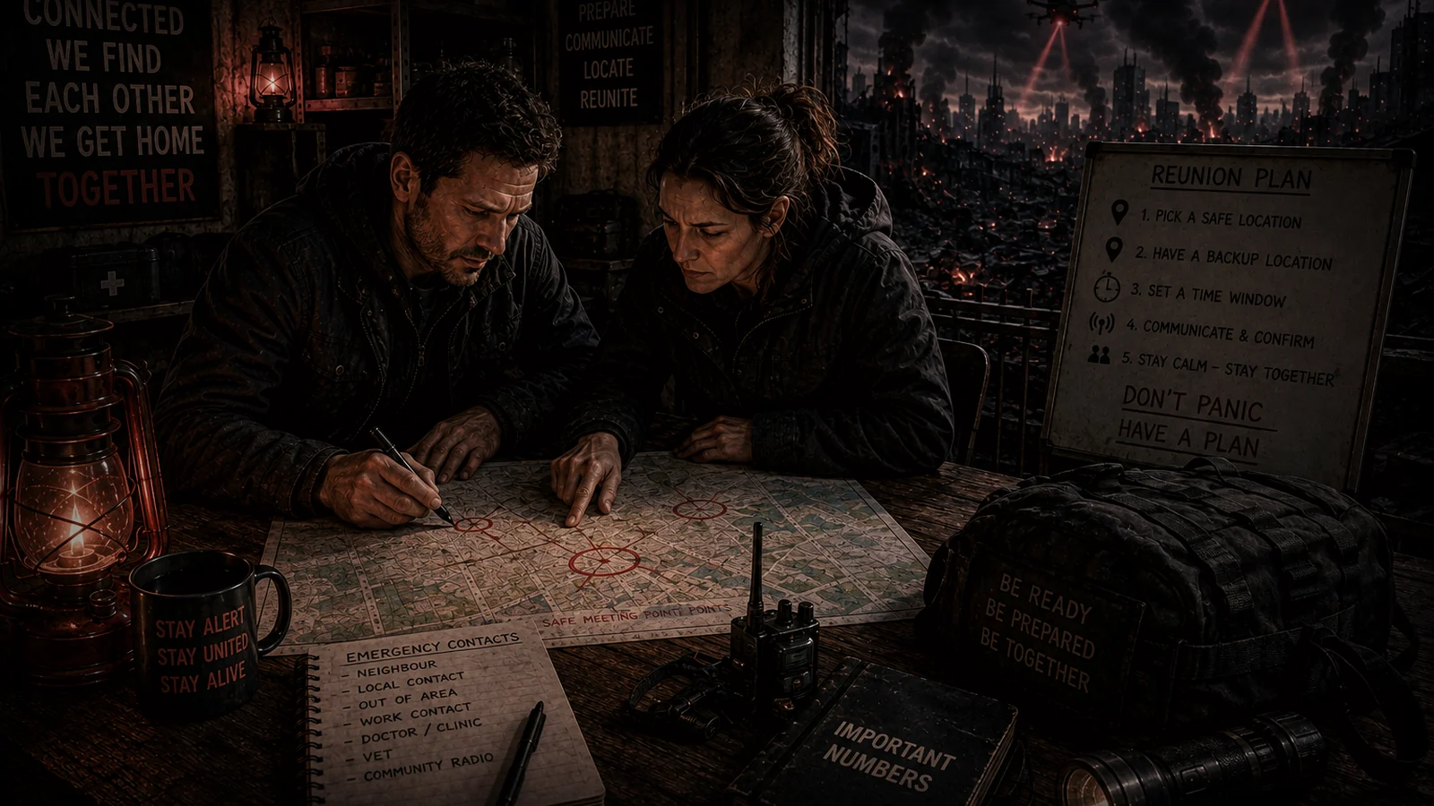
How to use paper maps as an offline backup for evacuation, walking routes, meeting points and local services when digital navigation is unavailable
The immediate answer
Keep a current paper map covering your home area, likely evacuation routes and destinations you would realistically use. Digital maps are convenient, but phones can run flat, networks can fail and apps may not have the area cached. UK Prepare explicitly recommends downloading or printing maps for emergencies. A paper map is a low-tech backup that works without electricity, account access or a signal.
Choose the right scale
A national road atlas is useful for long journeys but poor for navigating local footpaths and side streets. A detailed local street map or Ordnance Survey-style mapping may be more useful for walking routes, rural lanes and terrain. If your plan includes travelling to relatives in another area, keep coverage for the entire route rather than only your postcode.
Mark only useful information
Use pencil or removable notes to mark household meeting points, relatives, hospitals, pharmacies, community centres, fuel stations, water points and alternative routes. Do not turn the map into a treasure map showing exactly where valuables or supplies are stored. Keep sensitive information on a separate household plan if disclosure would create a risk.
Learn orientation before the crisis
A map is most useful when you understand basic orientation, road numbering, grid references and scale. Practise following a route using the paper map while your phone remains in your pocket. In rural areas, learn how contour lines and landmarks affect walking time. Do not assume a straight line on paper is a safe or legal route on the ground.
Pair map with compass and written directions
A small compass can help maintain direction when landmarks are obscured, especially in poor weather or unfamiliar terrain. Written turn-by-turn notes can be easier for some people to follow than a large map. Store the map in a waterproof sleeve or document pouch with a pencil and the addresses of intended destinations.
Plan alternatives around bottlenecks
Bridges, tunnels, motorway junctions, city centres and major river crossings can become congestion points during disruption. Mark at least one alternative route where practical, but do not trespass, ignore closures or drive through floodwater. Official evacuation instructions override a homemade route plan.
Keep maps in more than one place
A home map may be useless if you are away when the emergency starts. Keep a simple local map in the car or regular travel bag as well as at home. Households with adult members commuting in different directions can each carry a small route card showing meeting points and fallback locations.
Update after roads and circumstances change
Road layouts, bypasses, building names and household destinations change. Review maps during your twice-yearly preparedness check. Replace badly outdated sheets and make sure new household members know the meeting points. The map is part of a communication plan, not a decorative backup.
Create route cards for the people who travel most
For regular commutes, school runs and caring journeys, turn the large map into a simple route card. Write the normal route, one realistic alternative, the household meeting point, the out-of-area contact and a few landmarks that remain recognisable without street lighting. Give each adult or older teenager a copy. That reduces the cognitive load of reading a large map while stressed, tired or walking in poor weather. The route card should not tell someone to force a journey through unsafe conditions; it should make a sensible journey easier when travel is still possible. Add approximate walking time rather than straight-line distance so expectations are realistic. Review the cards when jobs, schools or relatives change.
Keep the map physically usable
Fold maps so the area you actually need is easy to reach, protect them from rain and store a pencil with them. A map crushed under heavy gear or soaked in a leaking boot is not a dependable backup. If you wear reading glasses, keep a spare pair with navigation materials. At night, use a low-power torch rather than holding a bright phone screen over the map. The goal is a navigation package that still works when battery, weather and stress are all working against you.
Continue building the system
Learn the map symbols you actually need
A paper map is only useful if the household can interpret it quickly. Practise identifying road classes, footpaths, rail lines, rivers, contour information where present, hospitals and other major landmarks. You do not need to become an expert cartographer; you need enough familiarity to orient yourself when live navigation is unavailable.
Use ordinary journeys for practice. Follow a familiar route on paper and compare it with what you see outside. That builds confidence without turning map reading into a separate hobby.
Make a shared family map
Mark home, schools, workplaces, relatives, two meeting points and a few important services on one household copy. Add short written route notes for journeys people may have to make alone. Keep the markings simple enough that another household member can understand them without explanation.
If privacy matters, do not turn the map into a complete record of valuables or sensitive information. The purpose is navigation and coordination.
Use maps to reduce unnecessary travel
During a communications or transport disruption, the safest route may be the route that avoids bottlenecks rather than the shortest line on the page. A map can help identify bridges, major junctions and alternative local roads before you set off.
Always adapt to current official closures and conditions. A paper map shows geography, not whether a road is safe or open today.
Keep written directions for critical journeys
A map is useful, but a short route card can be even faster when someone is stressed. Write the main road sequence, major landmarks and one alternative for essential destinations such as a family meeting point or healthcare location.
Route cards are especially useful for younger drivers or household members who normally rely completely on live navigation. Keep them with the map and update them when roads or destinations change.
The card should support, not override, current road closures or emergency instructions. It provides orientation when digital navigation fails, not permission to ignore conditions on the ground.
Practise before the phone fails
Use the paper map for one familiar local journey while normal navigation is still available. That low-pressure practice makes symbols, scale and orientation much easier to understand when you genuinely need the backup.
Mark the date of the map
Road layouts and services change. Keep maps current enough that the routes and destinations you depend on still exist as shown.
Continue from here
Build this topic into a wider plan, then see how the same dependency could fail in an AI-collapse scenario.